|
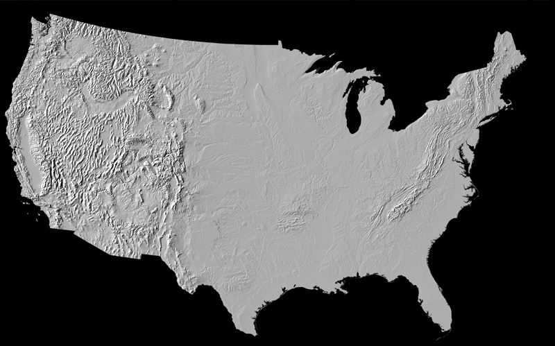
Shaded-relief map of the U.S. (excluding Hawaii and Alaska) | ||
|
||
 Sample showing degree of regional detail available on the larger image. The area shown is southern California.
All materials are from the U.S. Geological Survey.
Miscellaneous Investigations Series Map I-2206
By Gail P. Thelin and Richard J. Pike
Landforms of the Conterminous United States -
A Digital Shaded-Relief Portrayal,1991.
Images
Large image [ 11.8 MB, .tif ]
Large image [ 2.9 MB, .pdf ]
Accompanying pamphlet [ 7 MB, .pdf ]
You may also be interested in:
Geologic map of the U.S.
Updated: July 11, 2006
©2006 by Earthguide team members and the Regents of the University of California.
All rights reserved.