Mystery Bathymetry


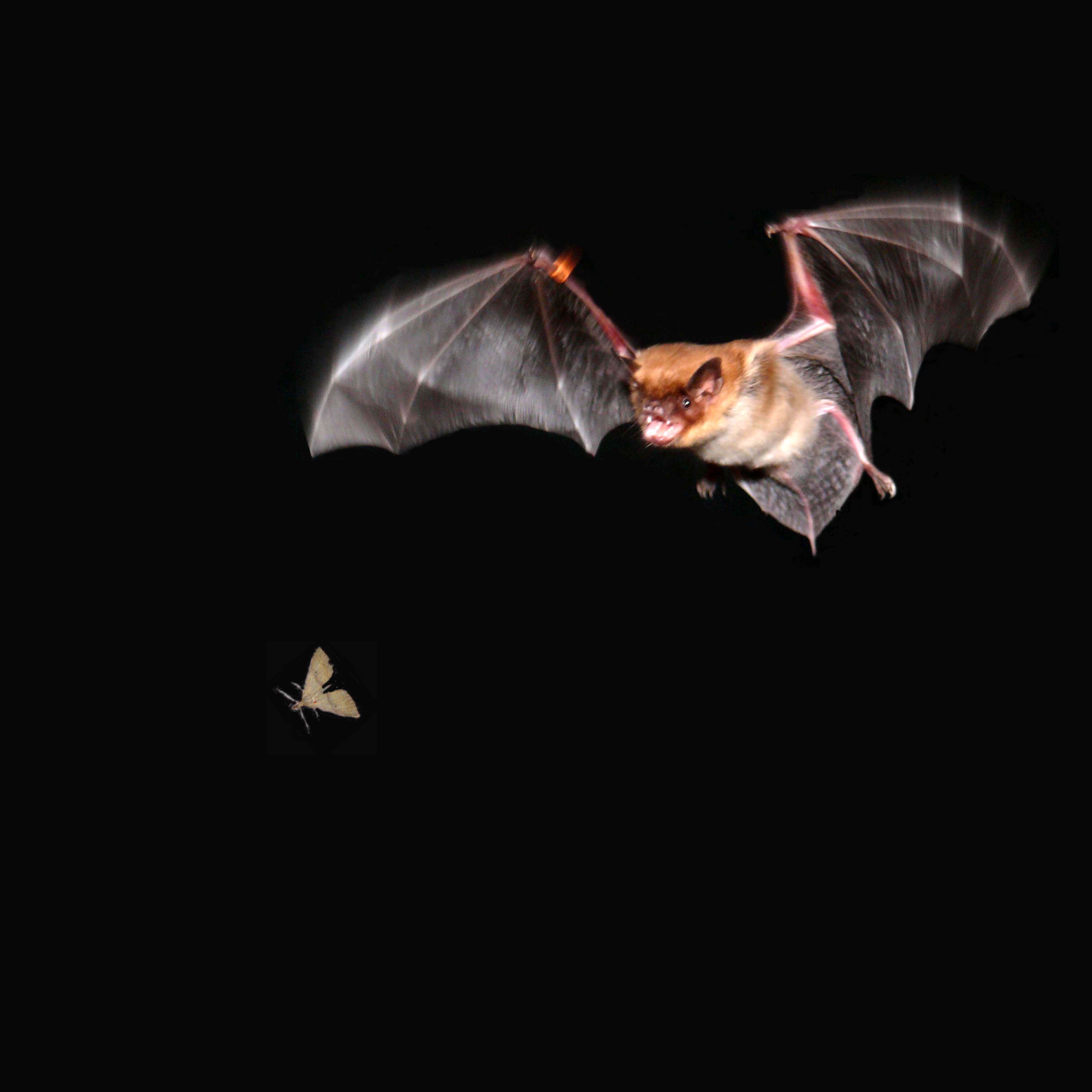
Bats don't see that well, but they're not "blind as bats" either. How do they hunt in the dark? They use a technique called echolocation.


People use a similar method to see and find things in the dark, like submarines and fishes that lurk under water.


You and your classmates are going to make like bats and use echolocation to image the shape ground in the dark. Topography is a scientist's term for the shape of the Earth's surface with respect to elevation.


Will you figure out wherer you are without being able to see? Surprise discoveries await!

earthquake


Project info:
This activity was produced by Earthguide, the Center for Ocean Sciences Education Excellence (COSEE) - California, and the Enhancing Science Education Through Technology (ESETT) program at the EdTech Department at San Diego Unified School District (SDUSD).

Teacher - Felicia Ryder at Wangenheim Middle School, San Diego Unified School District.
Educator/web developer - Memorie Yasuda at Earthguide, Geosciences Research Division, Scripps Institution of Oceanography.
Educational technologies resource teacher - Mike Senise at ESETT, San Diego Unified School District.
Scientist - Dr. Cheryl Peach at COSEE and Scripps Institution of Oceanography.