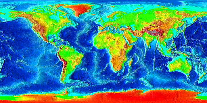
Surface Relief
| |
|
Shape of the Earth: Surface Relief |
|
|
Color scale for bathymetry and elevation. |
This data is documented at the National Geophysical Data Center. "This image was generated from digital data bases of seafloor and land elevations on a 2-minute latitude/longitude grid (1 minute of latitude = 1 nautical mile, or 1.852 km)." |